
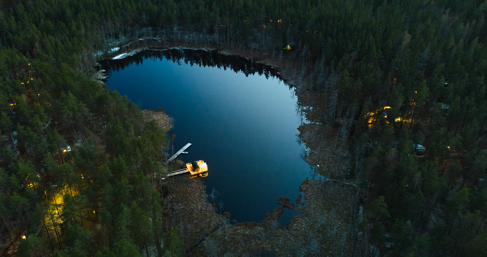
The phrase "at capacity" might seem ambiguous at first, but it carries a specific and significant environmental meaning—especially for lakefront properties in ecologically sensitive areas like Haliburton County. This term can determine the fate of real estate developments, recreational plans, and conservation efforts, all of them hinging on one overriding principle: the health of the county’s lakes.
In this article, we will delve into what it means when a lake is deemed “at capacity,” the scientific reasoning behind the designation, its impact on land development, and what property owners and potential buyers need to understand about this critical issue.
What Does “At Capacity” Mean?
When a lake is declared “at capacity,” it signifies that the water body has reached its ecological limit for coping with any additional phosphorus and other nutrients—inputs that come primary from surrounding development. Specifically, in Haliburton County, any proposal for development within 300 meters of a lake already deemed at capacity is likely to be rejected if it risks adding further nutrient loads to the lake.
The designation is not arbitrary. It is rooted in scientific studies on aquatic ecology, particularly focusing on lake trout habitats. Lake trout are exceptionally sensitive to changes in their environment, especially with respect to oxygen and temperature levels. These fish serve as critical ecological indicators, helping scientists assess the broader health of the lake.
The Science Behind the Capacity Designation
Lake Trout: Our Lake’s Canaries
Lake trout require very specific conditions to thrive, and these conditions make them an ideal species for monitoring ecological health. Adult lake trout generally occupy the upper layers of a lake, preferring water temperatures between 8 and 12 degrees Celsius. Juvenile trout, in contrast, retreat to deeper waters—typically below 28 meters—to avoid predation and competition.
As nutrient levels rise in a lake due to development, the resulting increase in algae and plant growth can lead to significant problems. When these plants die and decompose, they consume oxygen—a process known as biological oxygen demand (BOD). In late summer, when decomposition is at its peak and water temperature stratification occurs, oxygen depletion in deeper waters can become severe.
Oxygen Threshold and the Thermocline
A crucial indicator in determining whether a lake is at capacity is the average oxygen level below the thermocline—the mid-layer in a lake characterized by a rapid drop in temperature, typically at least 2 degrees Celsius per meter of depth.
For lake trout to survive and carry out necessary life processes, the oxygen concentration in waters below the thermocline must remain above 7 parts per million (ppm). If levels fall below this threshold, it signals that the lake can no longer support additional development without endangering its ecological integrity.
Simply, a reduction in trout numbers can indicate that our lakes are at capacity!
How Lakes Are Evaluated
Each September, environmental agencies sample lakes to create temperature and oxygen profiles. These profiles are used to calculate the average oxygen level below the thermocline. The Ministry of Environment, Conservation and Parks (MOECP), with occasional support from the Ministry of Natural Resources and Forestry (MNRF), evaluates these data to determine if a lake is “at capacity.”
Some lakes consistently hover just above or below the 7 ppm threshold. These borderline cases are monitored more frequently to account for potential discrepancies due to seasonal variations, weather conditions, or differences in sampling equipment. In such cases, a cautious approach is typically adopted to avoid irreversible ecological damage.
Implications for Development
A designation of “at capacity” has serious ramifications for land use planning and development:
- No New Lots Within 300 Metres: If a lake is below the 7 ppm oxygen threshold, no new lots can be created within 300 meters of its shoreline.
- Previously Approved Lots May Proceed: In some cases, lots that were approved before the lake was designated at capacity may still be developed.
- Exceptions Exist: If a proposed lot is situated more than 300 meters from the lake or lies within a different watershed, development may be allowed—even if the nearby lake is at capacity.
These restrictions aim to preserve the ecological health of the lake, protect aquatic species and maintain water quality for recreational and potable uses.
Why Phosphorus Is the Primary Concern
Phosphorus is a naturally occurring element that, in small amounts, supports healthy aquatic ecosystems. However, excess phosphorus—primarily from septic systems, agricultural runoff, and urban development—triggers algal blooms (some extremely toxic) and reduces water clarity.
More significantly, the decomposition of these algae increases demand for oxygen, reducing oxygen levels in deeper waters and endangering fish species like lake trout. Because of its outsized impact on water quality, phosphorus is the key nutrient used in determining a lake's capacity.
The Role of Property Owners and Developers
Developers and lakefront property owners, it’s essential to:
- Consult Local Regulations: Always check with local planning authorities and conservation agencies before purchasing or developing land near a lake.
- Maintain Septic Systems: Proper maintenance of septic systems is crucial to prevent nutrient leaching into the lake. (A handy septic sheet is available at cohpoa.org)
- Minimize Land Disturbance: Limit tree removal and soil disruption near shorelines to reduce erosion and runoff.
- Implement Buffer Zones: Planting native vegetation near shorelines will help absorb excess nutrients before they reach the water.
The Bigger Picture: Sustainable Development
Haliburton County is renowned for its pristine lakes and rugged natural beauty. Protecting these resources ensures not only environmental sustainability but also the long-term viability of the region’s tourism economy and property markets.
The “at capacity” designation is more than a regulatory hurdle—it’s a reminder of our responsibility to live in balance with nature. Informed decisions, responsible development, and ongoing stewardship can ensure that Haliburton’s lakes remain vibrant ecosystems for generations to come.
Conclusion
Understanding what it means for a lake to be “at capacity” is crucial for anyone with an interest in lakeside living, environmental preservation, or land development in Haliburton County. With climate change and increasing human activity putting stress on freshwater ecosystems, such science-based policies are vital tools for sustainable land use.
By respecting the limits of these fragile environments and aligning with conservation practices, we can continue to enjoy the natural beauty and ecological wealth of Haliburton’s lakes without compromising their health or biodiversity.
For the latest updates and guidelines, visit the Coalition of Haliburton Property Owners Associations at cohpoa.org or your local conservation authority.
Article prepared with information provided by the Coalition of Haliburton Property Owners Associations and scientific insights from MNR Minden.
